Queen?s Park: the sign for byway K44
Introduction
The photograph on this page of Queen?s Park: the sign for byway K44 by Chris Downer as part of the Geograph project.
The Geograph project started in 2005 with the aim of publishing, organising and preserving representative images for every square kilometre of Great Britain, Ireland and the Isle of Man.

There are currently over 7.5m images from over 14,400 individuals and you can help contribute to the project by visiting https://www.geograph.org.uk
Queen?s Park: the sign for byway K44
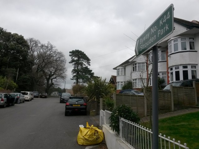
Image: © Chris Downer Taken: 25 Feb 2017
Looking up the final stretch of Howard Road, a short stub of road that gives access to Strouden Open Space. It is designated as a byway open to all traffic (or B.O.A.T.), number K44 as the sign tells us, and had a gravel surface before being tarmacked perhaps 10 or 15 years ago. See Image for a wider view from behind us, and Image for the view towards us from the top of the road ahead.
Images are licensed for reuse under creativecommons.org/licenses/by-sa/2.0
Image Location
Latitude
50.744255
Longitude
-1.854249