Charminster: footpath K01 arrives at the Fiveways
Introduction
The photograph on this page of Charminster: footpath K01 arrives at the Fiveways by Chris Downer as part of the Geograph project.
The Geograph project started in 2005 with the aim of publishing, organising and preserving representative images for every square kilometre of Great Britain, Ireland and the Isle of Man.

There are currently over 7.5m images from over 14,400 individuals and you can help contribute to the project by visiting https://www.geograph.org.uk
Charminster: footpath K01 arrives at the Fiveways
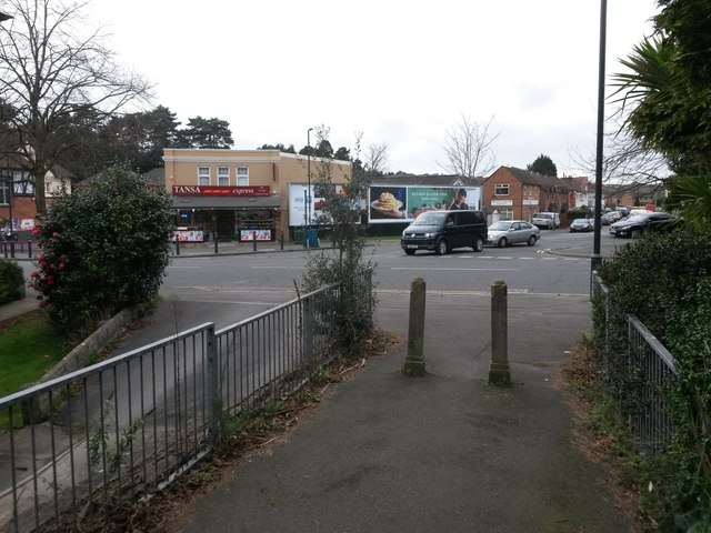
Image: © Chris Downer Taken: 25 Feb 2017
The public footpath from Ashling Crescent comes down onto Charminster Road opposite Charminster Avenue, at what is known as the Fiveways thanks to another junction just to the left, and the Fiveways pub which stands between them (the pub wall is just in shot at the extreme left). The shop on the corner has been several things over the years and after some time closed is now a general store (see Image from 2008, which also has the Fiveways pub in view). See Image for the view towards us from across the road, and Image for the view up the path behind us, with links to further photos on the path.
Images are licensed for reuse under creativecommons.org/licenses/by-sa/2.0
Image Location
Latitude
50.744174
Longitude
-1.86162