Field by Tremabyn
Introduction
The photograph on this page of Field by Tremabyn by Derek Harper as part of the Geograph project.
The Geograph project started in 2005 with the aim of publishing, organising and preserving representative images for every square kilometre of Great Britain, Ireland and the Isle of Man.

There are currently over 7.5m images from over 14,400 individuals and you can help contribute to the project by visiting https://www.geograph.org.uk
Field by Tremabyn
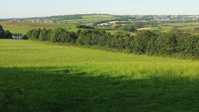
Image: © Derek Harper Taken: 16 Aug 2016
Tremabyn is the house on the left at the end of this field. In the background, The Beacon (with Gilbert's Monument) separates the southwestern and southeastern suburbs of Bodmin.
Images are licensed for reuse under creativecommons.org/licenses/by-sa/2.0
Image Location
Latitude
50.446936
Longitude
-4.741312