Former Prince of Wales at corner of Plumstead Common
Introduction
The photograph on this page of Former Prince of Wales at corner of Plumstead Common by Robin Webster as part of the Geograph project.
The Geograph project started in 2005 with the aim of publishing, organising and preserving representative images for every square kilometre of Great Britain, Ireland and the Isle of Man.

There are currently over 7.5m images from over 14,400 individuals and you can help contribute to the project by visiting https://www.geograph.org.uk
Former Prince of Wales at corner of Plumstead Common
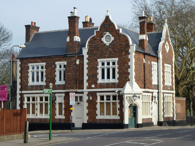
Image: © Robin Webster Taken: 14 Mar 2012
This was never mapped early on as anything in particular, only in comparatively recent maps was it indicated as a pub. Here it is closed and the lower windows boarded up internally. After the photograph it was converted to flats with the principal doors blocked up.
Images are licensed for reuse under creativecommons.org/licenses/by-sa/2.0
Image Location
Latitude
51.4818
Longitude
0.073522