Public bridleway off Dick Scot Lane
Introduction
The photograph on this page of Public bridleway off Dick Scot Lane by Christine Johnstone as part of the Geograph project.
The Geograph project started in 2005 with the aim of publishing, organising and preserving representative images for every square kilometre of Great Britain, Ireland and the Isle of Man.

There are currently over 7.5m images from over 14,400 individuals and you can help contribute to the project by visiting https://www.geograph.org.uk
Public bridleway off Dick Scot Lane
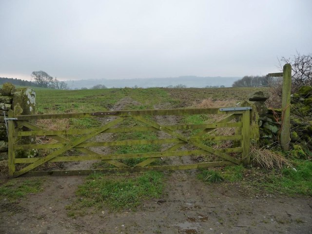
Image: © Christine Johnstone Taken: 13 Feb 2017
Heading south to cross Dalton Beck and reach Gayles as Long Lane.
Images are licensed for reuse under creativecommons.org/licenses/by-sa/2.0
Image Location
Latitude
54.476734
Longitude
-1.801356