Farm buildings, Warkleigh
Introduction
The photograph on this page of Farm buildings, Warkleigh by Derek Harper as part of the Geograph project.
The Geograph project started in 2005 with the aim of publishing, organising and preserving representative images for every square kilometre of Great Britain, Ireland and the Isle of Man.

There are currently over 7.5m images from over 14,400 individuals and you can help contribute to the project by visiting https://www.geograph.org.uk
Farm buildings, Warkleigh
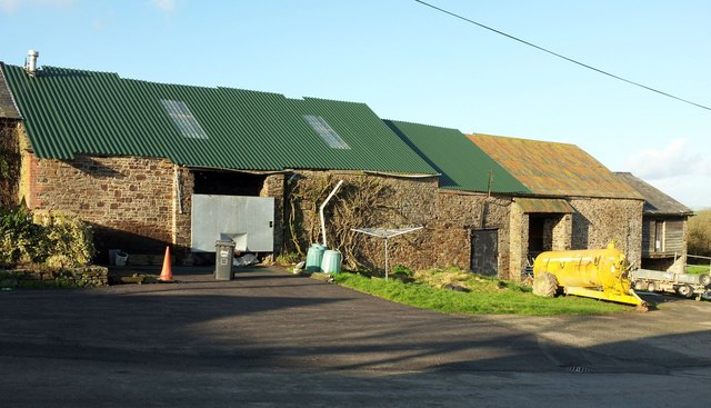
Image: © Derek Harper Taken: 8 Feb 2017
This range of buildings, seen in Image] and Image], faces the church across the lane to Shortridge. It feels as if you are entering a farmyard on this stretch of lane - as of course you are.
Images are licensed for reuse under creativecommons.org/licenses/by-sa/2.0
Image Location


Leaflet Map data © OpenStreetMap
Latitude
50.98944
Longitude
-3.93598