Queensbury FP32 on the lane to Folly Hall
Introduction
The photograph on this page of Queensbury FP32 on the lane to Folly Hall by Humphrey Bolton as part of the Geograph project.
The Geograph project started in 2005 with the aim of publishing, organising and preserving representative images for every square kilometre of Great Britain, Ireland and the Isle of Man.

There are currently over 7.5m images from over 14,400 individuals and you can help contribute to the project by visiting https://www.geograph.org.uk
Queensbury FP32 on the lane to Folly Hall
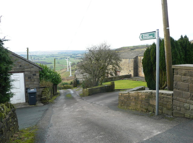
Image: © Humphrey Bolton Taken: 6 Feb 2017
The caption for Folly Hall on the 1850 six-inch map is unusual in having the figure '1614' beneath it, which is perhaps the date of the building as seen by the surveyor on a datestone.
Images are licensed for reuse under creativecommons.org/licenses/by-sa/2.0
Image Location
Latitude
53.758626
Longitude
-1.859814