The Elizabeth Creak building
Introduction
The photograph on this page of The Elizabeth Creak building by Richard Law as part of the Geograph project.
The Geograph project started in 2005 with the aim of publishing, organising and preserving representative images for every square kilometre of Great Britain, Ireland and the Isle of Man.

There are currently over 7.5m images from over 14,400 individuals and you can help contribute to the project by visiting https://www.geograph.org.uk
The Elizabeth Creak building
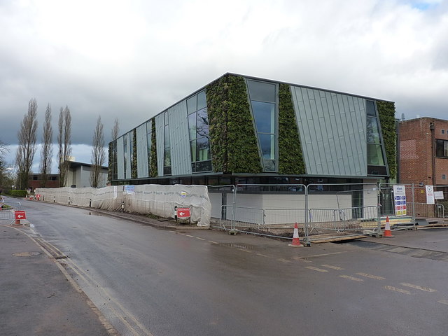
Image: © Richard Law Taken: 28 Jan 2017
Another new addition to the Harper Adams University complex; this one features a number of 'living walls', with plants growing on vertical surfaces.
Images are licensed for reuse under creativecommons.org/licenses/by-sa/2.0
Image Location
Latitude
52.781126
Longitude
-2.428268