Old mill building, Godregarreg
Introduction
The photograph on this page of Old mill building, Godregarreg by Jonathan Wilkins as part of the Geograph project.
The Geograph project started in 2005 with the aim of publishing, organising and preserving representative images for every square kilometre of Great Britain, Ireland and the Isle of Man.

There are currently over 7.5m images from over 14,400 individuals and you can help contribute to the project by visiting https://www.geograph.org.uk
Old mill building, Godregarreg
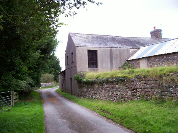
Image: © Jonathan Wilkins Taken: 27 Jul 2007
Water is carried across the common in a long-disused leat which runs on the top of the wall and into the building. There is no obvious watercourse on the other side, despite the blue line on the map. The wall of the leat is constructed from the local, red, characteristic sandstone.
Images are licensed for reuse under creativecommons.org/licenses/by-sa/2.0
Image Location


Leaflet Map data © OpenStreetMap
Latitude
51.933288
Longitude
-3.893146