Llwybr Cae Mawr / Cae Mawr Footpath
Introduction
The photograph on this page of Llwybr Cae Mawr / Cae Mawr Footpath by Alan Richards as part of the Geograph project.
The Geograph project started in 2005 with the aim of publishing, organising and preserving representative images for every square kilometre of Great Britain, Ireland and the Isle of Man.

There are currently over 7.5m images from over 14,400 individuals and you can help contribute to the project by visiting https://www.geograph.org.uk
Llwybr Cae Mawr / Cae Mawr Footpath
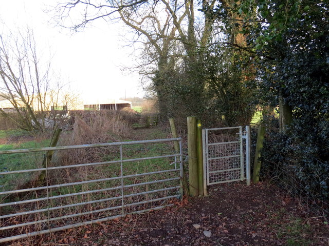
Image: © Alan Richards Taken: 11 Jan 2017
Gât fach ar lwybr cyhoeddus ger Ffarm Cae Mawr. A pedestrian gate on a public footpath near Cae Mawr Farm (trans. big field).
Images are licensed for reuse under creativecommons.org/licenses/by-sa/2.0
Image Location
Latitude
51.914138
Longitude
-3.94803