West Community Centre, Chester Road
Introduction
The photograph on this page of West Community Centre, Chester Road by Robert Graham as part of the Geograph project.
The Geograph project started in 2005 with the aim of publishing, organising and preserving representative images for every square kilometre of Great Britain, Ireland and the Isle of Man.

There are currently over 7.5m images from over 14,400 individuals and you can help contribute to the project by visiting https://www.geograph.org.uk
West Community Centre, Chester Road
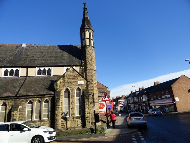
Image: © Robert Graham Taken: 17 Oct 2016
In Sunderland, at the junction of Chester Road and Sorley Street. Looks like it could be an old chapel.
Images are licensed for reuse under creativecommons.org/licenses/by-sa/2.0
Image Location
Latitude
54.901585
Longitude
-1.404584