Farmland, Bishop's Nympton
Introduction
The photograph on this page of Farmland, Bishop's Nympton by Derek Harper as part of the Geograph project.
The Geograph project started in 2005 with the aim of publishing, organising and preserving representative images for every square kilometre of Great Britain, Ireland and the Isle of Man.

There are currently over 7.5m images from over 14,400 individuals and you can help contribute to the project by visiting https://www.geograph.org.uk
Farmland, Bishop's Nympton
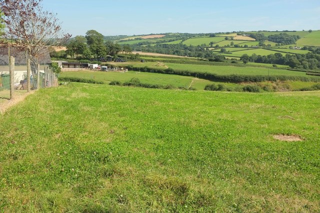
Image: © Derek Harper Taken: 15 Aug 2016
Taken close to Angel Hill Cross at the foot of the village, with small meadows leading away to the Crooked Oak valley.
Images are licensed for reuse under creativecommons.org/licenses/by-sa/2.0
Image Location
Latitude
50.997471
Longitude
-3.769857