Lead Mill
Introduction
The photograph on this page of Lead Mill by Alan Murray-Rust as part of the Geograph project.
The Geograph project started in 2005 with the aim of publishing, organising and preserving representative images for every square kilometre of Great Britain, Ireland and the Isle of Man.

There are currently over 7.5m images from over 14,400 individuals and you can help contribute to the project by visiting https://www.geograph.org.uk
Lead Mill
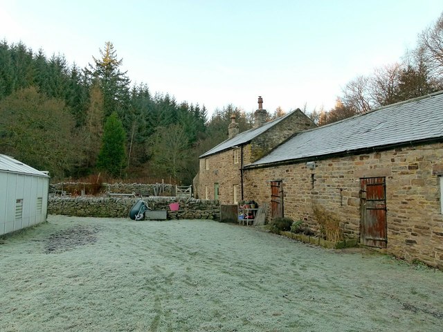
Image: © Alan Murray-Rust Taken: 28 Dec 2016
This is a small farmhouse with no visible evidence of its prior association with lead processing although it may have been associated with the nearby Silvertongue Mine. https://www.nmrs.org.uk/assets/pdf/BM48/BM48-93-103-crooked.pdf gives details but is inconclusive in my view as to whether the building housed the mill from which it derives its name.
Images are licensed for reuse under creativecommons.org/licenses/by-sa/2.0
Image Location
Latitude
54.834808
Longitude
-1.916678