The approach to Bulkington from Shilton
Introduction
The photograph on this page of The approach to Bulkington from Shilton by Peter Mackenzie as part of the Geograph project.
The Geograph project started in 2005 with the aim of publishing, organising and preserving representative images for every square kilometre of Great Britain, Ireland and the Isle of Man.

There are currently over 7.5m images from over 14,400 individuals and you can help contribute to the project by visiting https://www.geograph.org.uk
The approach to Bulkington from Shilton
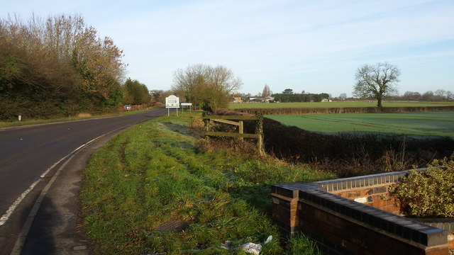
Image: © Peter Mackenzie Taken: 27 Dec 2016
The B4029 passes through rural farmland on its final approach to the village of Bulkington, Warwickshire, England
Images are licensed for reuse under creativecommons.org/licenses/by-sa/2.0
Image Location
Latitude
52.46716
Longitude
-1.414399