Beecher Terrace, Crosskeys
Introduction
The photograph on this page of Beecher Terrace, Crosskeys by Jaggery as part of the Geograph project.
The Geograph project started in 2005 with the aim of publishing, organising and preserving representative images for every square kilometre of Great Britain, Ireland and the Isle of Man.

There are currently over 7.5m images from over 14,400 individuals and you can help contribute to the project by visiting https://www.geograph.org.uk
Beecher Terrace, Crosskeys
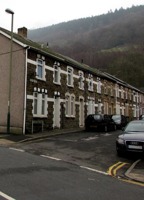
Image: © Jaggery Taken: 17 Dec 2016
Viewed across High Street. The row of houses extends for 40 metres along the north side of Beecher Terrace.
Images are licensed for reuse under creativecommons.org/licenses/by-sa/2.0
Image Location
Latitude
51.622848
Longitude
-3.126536