Turning area at the northern end of Llanarth Square, Risca
Introduction
The photograph on this page of Turning area at the northern end of Llanarth Square, Risca by Jaggery as part of the Geograph project.
The Geograph project started in 2005 with the aim of publishing, organising and preserving representative images for every square kilometre of Great Britain, Ireland and the Isle of Man.

There are currently over 7.5m images from over 14,400 individuals and you can help contribute to the project by visiting https://www.geograph.org.uk
Turning area at the northern end of Llanarth Square, Risca
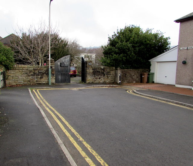
Image: © Jaggery Taken: 20 Dec 2016
Viewed in December 2016. Double yellow lines on both sides indicate no parking at any time. Llanarth Square must have had a different configuration when it was named. Now it is a straight dead street.
Images are licensed for reuse under creativecommons.org/licenses/by-sa/2.0
Image Location
Latitude
51.604282
Longitude
-3.093009