Dobbs Weir Lock
Introduction
The photograph on this page of Dobbs Weir Lock by Peter S as part of the Geograph project.
The Geograph project started in 2005 with the aim of publishing, organising and preserving representative images for every square kilometre of Great Britain, Ireland and the Isle of Man.

There are currently over 7.5m images from over 14,400 individuals and you can help contribute to the project by visiting https://www.geograph.org.uk
Dobbs Weir Lock
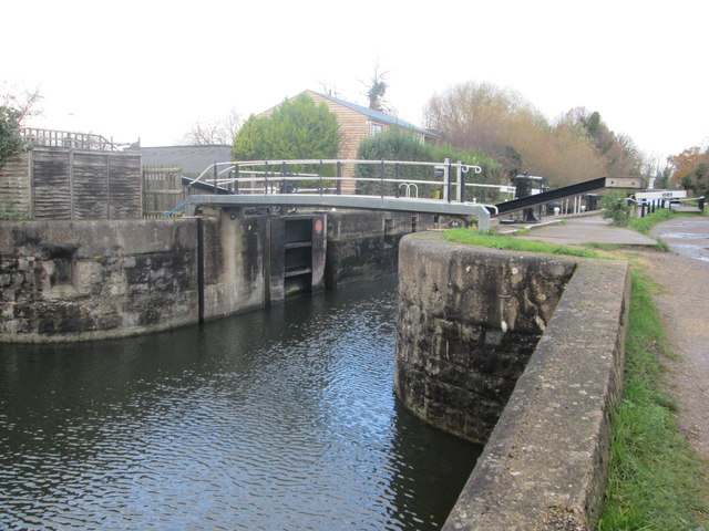
Image: © Peter S Taken: 22 Nov 2016
Lock number 6 on the River Lee Navigation situated south of the picturesque location of Dobb’s Weir.
Images are licensed for reuse under creativecommons.org/licenses/by-sa/2.0
Image Location


Leaflet Map data © OpenStreetMap
Latitude
51.752255
Longitude
0.003448