Side pond at the Bratch Locks
Introduction
The photograph on this page of Side pond at the Bratch Locks by Mat Fascione as part of the Geograph project.
The Geograph project started in 2005 with the aim of publishing, organising and preserving representative images for every square kilometre of Great Britain, Ireland and the Isle of Man.

There are currently over 7.5m images from over 14,400 individuals and you can help contribute to the project by visiting https://www.geograph.org.uk
Side pond at the Bratch Locks
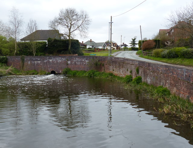
Image: © Mat Fascione Taken: 22 Apr 2016
This pond is next to Bratch Bottom Lock No 23 and Bratch Lane. The Bratch Locks were opened in 1772 as a three lock staircase, they were later re-engineered as three separate locks.
Images are licensed for reuse under creativecommons.org/licenses/by-sa/2.0
Image Location
Latitude
52.541351
Longitude
-2.19724