Rawcliffe Manor Caravan Park, Village Street, Manor Lane
Introduction
The photograph on this page of Rawcliffe Manor Caravan Park, Village Street, Manor Lane by Jo and Steve Turner as part of the Geograph project.
The Geograph project started in 2005 with the aim of publishing, organising and preserving representative images for every square kilometre of Great Britain, Ireland and the Isle of Man.

There are currently over 7.5m images from over 14,400 individuals and you can help contribute to the project by visiting https://www.geograph.org.uk
Rawcliffe Manor Caravan Park, Village Street, Manor Lane
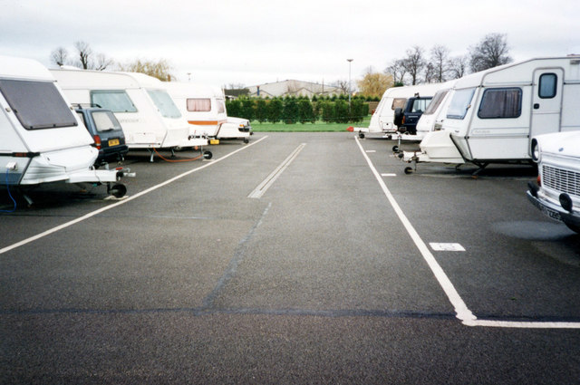
Image: © Jo and Steve Turner Taken: 26 Nov 1994
The site was much bigger in 1994 most of which is now given over to housing. The site is now reduced to a 13 pitch adult only site.
Images are licensed for reuse under creativecommons.org/licenses/by-sa/2.0
Image Location
Latitude
53.989289
Longitude
-1.111414