Forge Gardens houses, St Arvans
Introduction
The photograph on this page of Forge Gardens houses, St Arvans by Jaggery as part of the Geograph project.
The Geograph project started in 2005 with the aim of publishing, organising and preserving representative images for every square kilometre of Great Britain, Ireland and the Isle of Man.

There are currently over 7.5m images from over 14,400 individuals and you can help contribute to the project by visiting https://www.geograph.org.uk
Forge Gardens houses, St Arvans
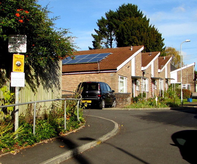
Image: © Jaggery Taken: 11 Nov 2016
Cul-de-sac on the east side of Devauden Road. Notices on the left show ACCESS FOR RESIDENTS AND VISITORS ONLY and This is a NEIGHBOURHOOD WATCH AREA.
Images are licensed for reuse under creativecommons.org/licenses/by-sa/2.0
Image Location
Latitude
51.665741
Longitude
-2.697876