Bus shelter opposite Coal Lane, Hose
Introduction
The photograph on this page of Bus shelter opposite Coal Lane, Hose by Alan Murray-Rust as part of the Geograph project.
The Geograph project started in 2005 with the aim of publishing, organising and preserving representative images for every square kilometre of Great Britain, Ireland and the Isle of Man.

There are currently over 7.5m images from over 14,400 individuals and you can help contribute to the project by visiting https://www.geograph.org.uk
Bus shelter opposite Coal Lane, Hose
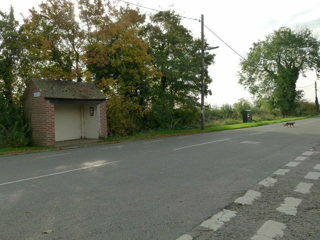
Image: © Alan Murray-Rust Taken: 31 Oct 2016
The village currently still has a regular service running between either Bingham or Bottesford and Melton Mowbray. There is a bench mark http://www.geograph.org.uk/photo/5178772 on the near end of the shelter.
Images are licensed for reuse under creativecommons.org/licenses/by-sa/2.0
Image Location
Latitude
52.858103
Longitude
-0.903288