Partly-constructed road into Iwade Meadows
Introduction
The photograph on this page of Partly-constructed road into Iwade Meadows by John Baker as part of the Geograph project.
The Geograph project started in 2005 with the aim of publishing, organising and preserving representative images for every square kilometre of Great Britain, Ireland and the Isle of Man.

There are currently over 7.5m images from over 14,400 individuals and you can help contribute to the project by visiting https://www.geograph.org.uk
Partly-constructed road into Iwade Meadows
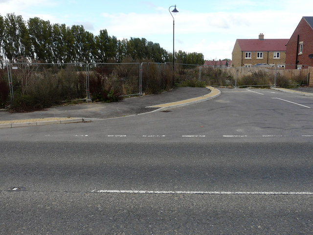
Image: © John Baker Taken: 9 Oct 2016
The nearer houses have been completed but those, in the distance, are still under construction. The development is described in Swale Borough Council’s planning application SW/08/1127 as the “development of housing, employment (up to 3000 square metres), public open space and pavilion (up to 110 square metres), with access from School Lane and Sheppey Way, including roads, cycle paths, footpaths, stream crossings, landscaping and ancillary works”. The location was given as land adjacent (to) Coleshall Farm, Sheppey Way.
Images are licensed for reuse under creativecommons.org/licenses/by-sa/2.0
Image Location
Latitude
51.371075
Longitude
0.728314