Appold Street
Introduction
The photograph on this page of Appold Street by Ian Taylor as part of the Geograph project.
The Geograph project started in 2005 with the aim of publishing, organising and preserving representative images for every square kilometre of Great Britain, Ireland and the Isle of Man.

There are currently over 7.5m images from over 14,400 individuals and you can help contribute to the project by visiting https://www.geograph.org.uk
Appold Street
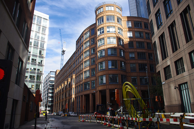
Image: © Ian Taylor Taken: 16 Oct 2016
Road works (new gas main installation) at the junction with Primrose Street. Broadwalk House is in the centre of the photo.
Images are licensed for reuse under creativecommons.org/licenses/by-sa/2.0
Image Location
Latitude
51.520862
Longitude
-0.08168