River Thames near Blackfriars Bridge
Introduction
The photograph on this page of River Thames near Blackfriars Bridge by Stephen Richards as part of the Geograph project.
The Geograph project started in 2005 with the aim of publishing, organising and preserving representative images for every square kilometre of Great Britain, Ireland and the Isle of Man.

There are currently over 7.5m images from over 14,400 individuals and you can help contribute to the project by visiting https://www.geograph.org.uk
River Thames near Blackfriars Bridge
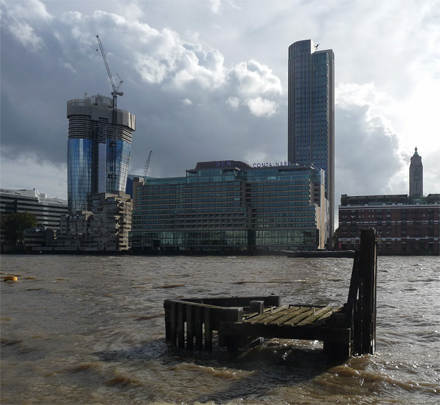
Image: © Stephen Richards Taken: 16 Oct 2016
The south bank immediately west of the bridge, the river level very high. Going up on the left is 'One Blackfriars' (Image]), and in front of it is Image To the right is Sea Containers House, built in the late 1970s as a hotel and recently refurbished additionally as offices. Behind is the recently re-clad and heightened Kings Reach (Image]), its 1970s brown cladding having been successfully refreshed by Kohn Pedersen Fox. It has been re-branded South Bank Tower. Far right is the Oxo tower (1928, by A.W. Moore). This picture shows the full building as well as previous versions of aforementioned buildings (Image]).
Images are licensed for reuse under creativecommons.org/licenses/by-sa/2.0
Image Location
Latitude
51.508412
Longitude
-0.106845