Wychwood Place
Introduction
The photograph on this page of Wychwood Place by Shazz as part of the Geograph project.
The Geograph project started in 2005 with the aim of publishing, organising and preserving representative images for every square kilometre of Great Britain, Ireland and the Isle of Man.

There are currently over 7.5m images from over 14,400 individuals and you can help contribute to the project by visiting https://www.geograph.org.uk
Wychwood Place
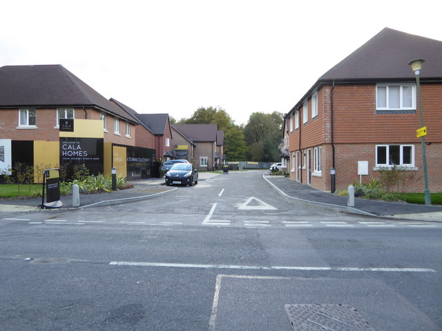
Image: © Shazz Taken: 9 Oct 2016
This was formerly Hurst Farm according to the OS map. See http://www.geograph.org.uk/photo/5124782 for a picture taken five months earlier.
Images are licensed for reuse under creativecommons.org/licenses/by-sa/2.0
Image Location
Latitude
51.125947
Longitude
-0.090228