View from Burtonhole Lane near Burtonhole Farm
Introduction
The photograph on this page of View from Burtonhole Lane near Burtonhole Farm by Marathon as part of the Geograph project.
The Geograph project started in 2005 with the aim of publishing, organising and preserving representative images for every square kilometre of Great Britain, Ireland and the Isle of Man.

There are currently over 7.5m images from over 14,400 individuals and you can help contribute to the project by visiting https://www.geograph.org.uk
View from Burtonhole Lane near Burtonhole Farm
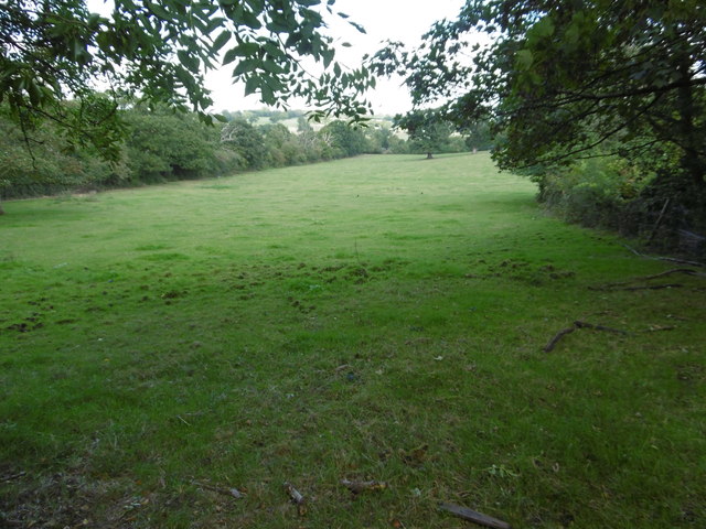
Image: © Marathon Taken: 5 Oct 2016
Burtonhole Lane is known as Gypsy Lane at its eastern end where it comes out to the southern end of Totteridge Green. It is a quiet country lane and was an old green lane, which now serves as a public bridleway and footpath. The hedgerows have been allowed to grow tall and bushy. This view is at the western end of Burtonhole Lane next to Burtonhole Farm and close to Mill Hill. It looks down into the valley of the Folly Brook. There is quite a lot of traffic here as Finchley Nurseries and Mill Hill Country Club are to the left of this field.
Images are licensed for reuse under creativecommons.org/licenses/by-sa/2.0
Image Location
Latitude
51.620089
Longitude
-0.215312