Horton village hall
Introduction
The photograph on this page of Horton village hall by Gordon Hatton as part of the Geograph project.
The Geograph project started in 2005 with the aim of publishing, organising and preserving representative images for every square kilometre of Great Britain, Ireland and the Isle of Man.

There are currently over 7.5m images from over 14,400 individuals and you can help contribute to the project by visiting https://www.geograph.org.uk
Horton village hall
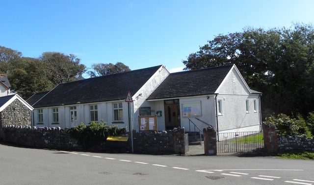
Image: © Gordon Hatton Taken: 25 Sep 2016
The village hall stands near the top end of the village which extends down two steep hills towards the shoreline.
Images are licensed for reuse under creativecommons.org/licenses/by-sa/2.0
Image Location
Latitude
51.552291
Longitude
-4.201982