NCR 467 south of Fairoak Farm
Introduction
The photograph on this page of NCR 467 south of Fairoak Farm by M J Roscoe as part of the Geograph project.
The Geograph project started in 2005 with the aim of publishing, organising and preserving representative images for every square kilometre of Great Britain, Ireland and the Isle of Man.

There are currently over 7.5m images from over 14,400 individuals and you can help contribute to the project by visiting https://www.geograph.org.uk
NCR 467 south of Fairoak Farm
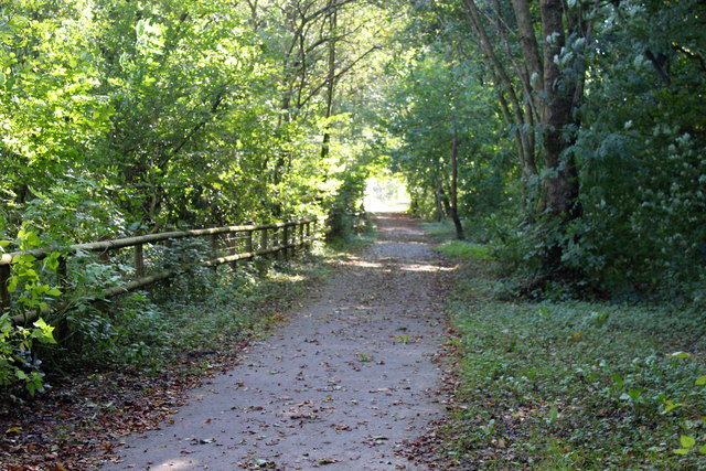
Image: © M J Roscoe Taken: 5 Oct 2016
National Cycle Route heading south towards Blackwood on former railway trackbed, viewed from same camera position as Image
Images are licensed for reuse under creativecommons.org/licenses/by-sa/2.0
Image Location
Latitude
51.687612
Longitude
-3.187889