Peak Forest Canal
Introduction
The photograph on this page of Peak Forest Canal by Gerald England as part of the Geograph project.
The Geograph project started in 2005 with the aim of publishing, organising and preserving representative images for every square kilometre of Great Britain, Ireland and the Isle of Man.

There are currently over 7.5m images from over 14,400 individuals and you can help contribute to the project by visiting https://www.geograph.org.uk
Peak Forest Canal
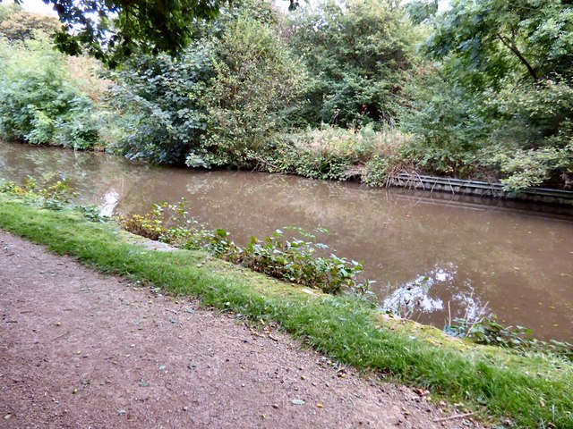
Image: © Gerald England Taken: 30 Sep 2016
Behind the photographer is a footpath leading to Haughton Dale nature reserve Image and a sign saying No Fishing. I presume that applies to the nature reserve not the canal as in front of the photographer is a fishing peg number Image
Images are licensed for reuse under creativecommons.org/licenses/by-sa/2.0
Image Location
Latitude
53.442198
Longitude
-2.089085