Drain, Newtownards
Introduction
The photograph on this page of Drain, Newtownards by Albert Bridge as part of the Geograph project.
The Geograph project started in 2005 with the aim of publishing, organising and preserving representative images for every square kilometre of Great Britain, Ireland and the Isle of Man.

There are currently over 7.5m images from over 14,400 individuals and you can help contribute to the project by visiting https://www.geograph.org.uk
Drain, Newtownards
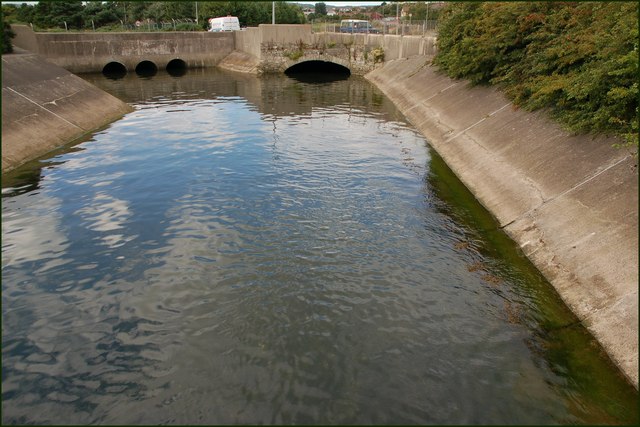
Image: © Albert Bridge Taken: 2 Aug 2007
This drain runs into Strangford Lough (behind the photographer). The bridge in the background carries the Newtownards (left) – Portaferry road. Continue to Image
Images are licensed for reuse under creativecommons.org/licenses/by-sa/2.0
Image Location
Latitude
54.587342
Longitude
-5.672673