Cobridge: 342 Cobridge Road
Introduction
The photograph on this page of Cobridge: 342 Cobridge Road by Jonathan Hutchins as part of the Geograph project.
The Geograph project started in 2005 with the aim of publishing, organising and preserving representative images for every square kilometre of Great Britain, Ireland and the Isle of Man.

There are currently over 7.5m images from over 14,400 individuals and you can help contribute to the project by visiting https://www.geograph.org.uk
Cobridge: 342 Cobridge Road
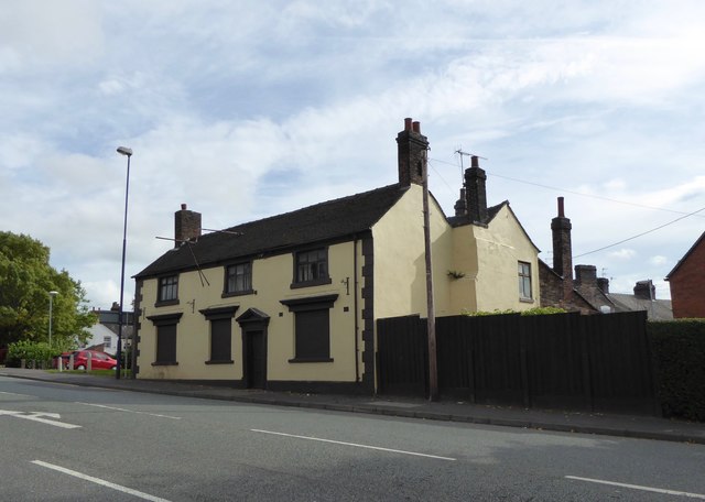
Image: © Jonathan Hutchins Taken: 24 Sep 2016
This eighteenth-century Grade II listed building is the former 'Black Boy' inn. For much detail on its history and fortunes see http://www.thepotteries.org/old_pubs/007.htm Historic England entry: https://www.historicengland.org.uk/listing/the-list/list-entry/1195829
Images are licensed for reuse under creativecommons.org/licenses/by-sa/2.0
Image Location
Latitude
53.033184
Longitude
-2.186804