Tuckton: the end of Riverside Lane
Introduction
The photograph on this page of Tuckton: the end of Riverside Lane by Chris Downer as part of the Geograph project.
The Geograph project started in 2005 with the aim of publishing, organising and preserving representative images for every square kilometre of Great Britain, Ireland and the Isle of Man.

There are currently over 7.5m images from over 14,400 individuals and you can help contribute to the project by visiting https://www.geograph.org.uk
Tuckton: the end of Riverside Lane
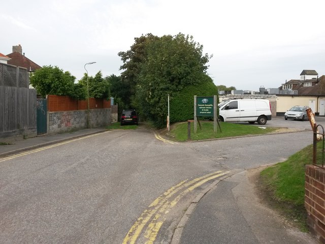
Image: © Chris Downer Taken: 24 Sep 2016
Beyond the rear car park of the Riverside pub, public footpath number I18 extends beyond the black car and leads down to the river. See Image for the next photo along the footpath, with links to further photos on the path.
Images are licensed for reuse under creativecommons.org/licenses/by-sa/2.0
Image Location
Latitude
50.729322
Longitude
-1.791246