Lane, Margaret Marsh
Introduction
The photograph on this page of Lane, Margaret Marsh by Derek Harper as part of the Geograph project.
The Geograph project started in 2005 with the aim of publishing, organising and preserving representative images for every square kilometre of Great Britain, Ireland and the Isle of Man.

There are currently over 7.5m images from over 14,400 individuals and you can help contribute to the project by visiting https://www.geograph.org.uk
Lane, Margaret Marsh
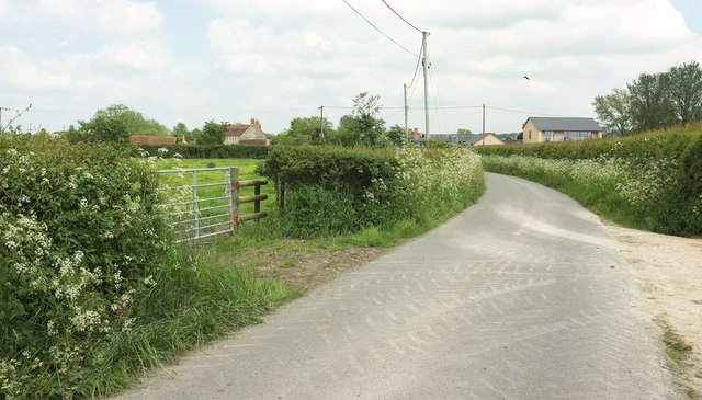
Image: © Derek Harper Taken: 26 May 2016
Curving towards the junction with Church Lane, past a new extension on the right, Lower Farm on the left, and Newhouse Farm beyond the junction.
Images are licensed for reuse under creativecommons.org/licenses/by-sa/2.0
Image Location
Latitude
50.968792
Longitude
-2.253728