Bull and Royal Hotel, Church Street, Preston
Introduction
The photograph on this page of Bull and Royal Hotel, Church Street, Preston by Stephen Richards as part of the Geograph project.
The Geograph project started in 2005 with the aim of publishing, organising and preserving representative images for every square kilometre of Great Britain, Ireland and the Isle of Man.

There are currently over 7.5m images from over 14,400 individuals and you can help contribute to the project by visiting https://www.geograph.org.uk
Bull and Royal Hotel, Church Street, Preston
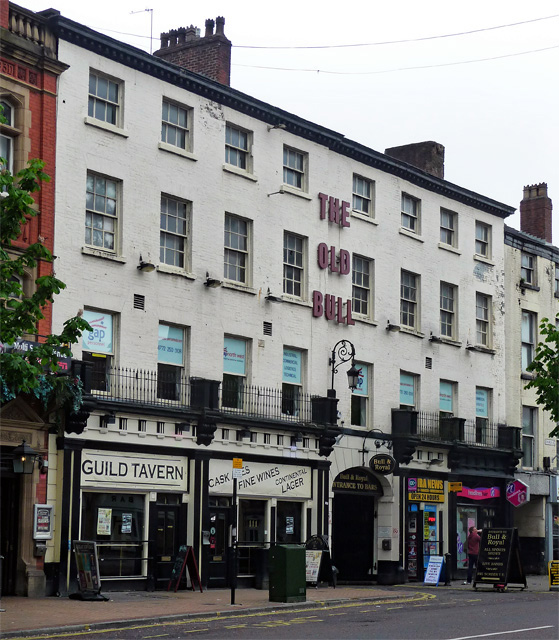
Image: © Stephen Richards Taken: 11 Jun 2013
Built as a coaching inn, c1770 (a fine late C18th Assembly Room lies behind). The ground floor, which incorporates shops, is primarily mid C19th. Grade II* listed.
Images are licensed for reuse under creativecommons.org/licenses/by-sa/2.0
Image Location


Leaflet Map data © OpenStreetMap
Latitude
53.758388
Longitude
-2.697066