St Peter and St Paul parish church, Warsop
Introduction
The photograph on this page of St Peter and St Paul parish church, Warsop by Chris Morgan as part of the Geograph project.
The Geograph project started in 2005 with the aim of publishing, organising and preserving representative images for every square kilometre of Great Britain, Ireland and the Isle of Man.

There are currently over 7.5m images from over 14,400 individuals and you can help contribute to the project by visiting https://www.geograph.org.uk
St Peter and St Paul parish church, Warsop
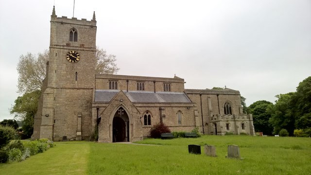
Image: © Chris Morgan Taken: 31 May 2016
There was a church here at the time of the Domesday Book in 1086, although the building we see today incorporates work from many subsequent centuries.
Images are licensed for reuse under creativecommons.org/licenses/by-sa/2.0
Image Location
Latitude
53.213327
Longitude
-1.151358