The southern branch of Wadsworth FP26 at Pasture, Midgley
Introduction
The photograph on this page of The southern branch of Wadsworth FP26 at Pasture, Midgley by Humphrey Bolton as part of the Geograph project.
The Geograph project started in 2005 with the aim of publishing, organising and preserving representative images for every square kilometre of Great Britain, Ireland and the Isle of Man.

There are currently over 7.5m images from over 14,400 individuals and you can help contribute to the project by visiting https://www.geograph.org.uk
The southern branch of Wadsworth FP26 at Pasture, Midgley
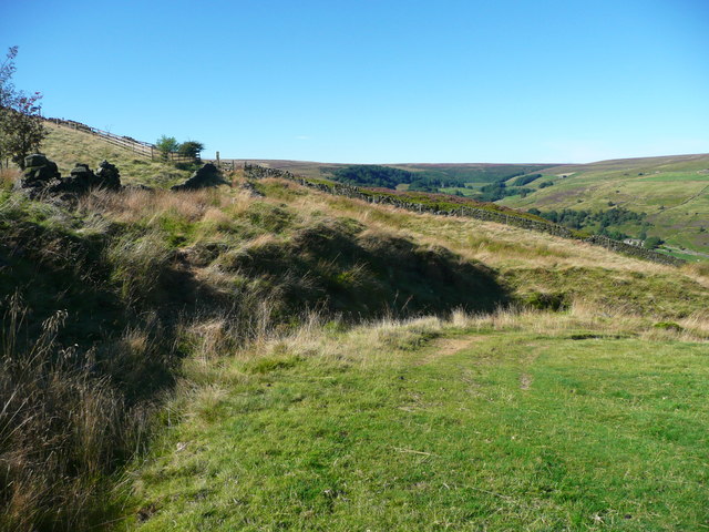
Image: © Humphrey Bolton Taken: 29 Aug 2016
The access track to Pasture was along the footpath to the stile and former gate straight ahead, but there is now an access track curving round from the right, up from Hollin Top.
Images are licensed for reuse under creativecommons.org/licenses/by-sa/2.0
Image Location
Latitude
53.749445
Longitude
-1.962962