Lock Lane
Introduction
The photograph on this page of Lock Lane by Simon Carey as part of the Geograph project.
The Geograph project started in 2005 with the aim of publishing, organising and preserving representative images for every square kilometre of Great Britain, Ireland and the Isle of Man.

There are currently over 7.5m images from over 14,400 individuals and you can help contribute to the project by visiting https://www.geograph.org.uk
Lock Lane
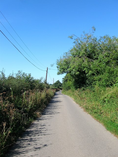
Image: © Simon Carey Taken: 30 Aug 2016
A private road that links Bines Road, the B2135, to Lock Farm, centre of the Lock Estate which is the major landowner in the parish. The lane is a public bridleway that links Partridge Green to Platt's Green near Dial Post.
Images are licensed for reuse under creativecommons.org/licenses/by-sa/2.0
Image Location
Latitude
50.956142
Longitude
-0.311207