Arable land off Salters Lane
Introduction
The photograph on this page of Arable land off Salters Lane by Graham Robson as part of the Geograph project.
The Geograph project started in 2005 with the aim of publishing, organising and preserving representative images for every square kilometre of Great Britain, Ireland and the Isle of Man.

There are currently over 7.5m images from over 14,400 individuals and you can help contribute to the project by visiting https://www.geograph.org.uk
Arable land off Salters Lane
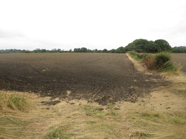
Image: © Graham Robson Taken: 21 Aug 2016
Freshly cultivated arable land off Salters Lane on the urban fringe.
Images are licensed for reuse under creativecommons.org/licenses/by-sa/2.0
Image Location
Latitude
55.017856
Longitude
-1.59898