Battersea, Joubert Street
Introduction
The photograph on this page of Battersea, Joubert Street by Mike Faherty as part of the Geograph project.
The Geograph project started in 2005 with the aim of publishing, organising and preserving representative images for every square kilometre of Great Britain, Ireland and the Isle of Man.

There are currently over 7.5m images from over 14,400 individuals and you can help contribute to the project by visiting https://www.geograph.org.uk
Battersea, Joubert Street
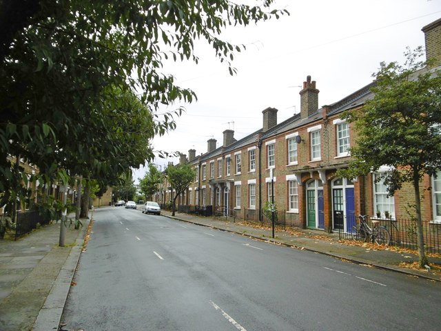
Image: © Mike Faherty Taken: 20 Aug 2016
Part of the Latchmere Estate, an early example of originally social housing, dating from 1903.
Images are licensed for reuse under creativecommons.org/licenses/by-sa/2.0
Image Location
Latitude
51.471344
Longitude
-0.162232