Wateringbury Road
Introduction
The photograph on this page of Wateringbury Road by Chris Heaton as part of the Geograph project.
The Geograph project started in 2005 with the aim of publishing, organising and preserving representative images for every square kilometre of Great Britain, Ireland and the Isle of Man.

There are currently over 7.5m images from over 14,400 individuals and you can help contribute to the project by visiting https://www.geograph.org.uk
Wateringbury Road
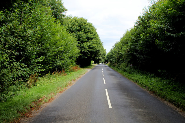
Image: © Chris Heaton Taken: 13 Aug 2016
Long straight road heading north to East Malling, which allows cars to reach high speeds - impervious to pedestrians
Images are licensed for reuse under creativecommons.org/licenses/by-sa/2.0
Image Location
Latitude
51.270963
Longitude
0.430895