Castle Road entrance to the village school, Pucklechurch
Introduction
The photograph on this page of Castle Road entrance to the village school, Pucklechurch by Jaggery as part of the Geograph project.
The Geograph project started in 2005 with the aim of publishing, organising and preserving representative images for every square kilometre of Great Britain, Ireland and the Isle of Man.

There are currently over 7.5m images from over 14,400 individuals and you can help contribute to the project by visiting https://www.geograph.org.uk
Castle Road entrance to the village school, Pucklechurch
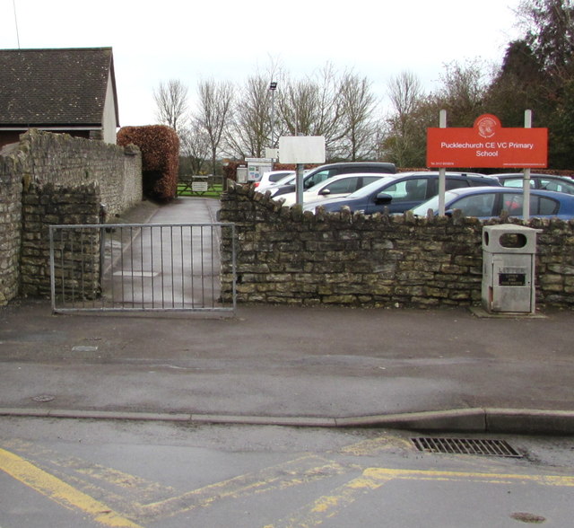
Image: © Jaggery Taken: 5 Feb 2016
Entrance path to Pucklechurch Church of England Voluntary Controlled Primary School. A Voluntary Controlled school must provide for all pupils to take part in a daily act of collective worship, which must reflect the broad traditions of Christian belief and be wholly Christian in character.
Images are licensed for reuse under creativecommons.org/licenses/by-sa/2.0
Image Location
Latitude
51.488271
Longitude
-2.43217