A way in to Robroyston Park Local Nature Reserve
Introduction
The photograph on this page of A way in to Robroyston Park Local Nature Reserve by Richard Sutcliffe as part of the Geograph project.
The Geograph project started in 2005 with the aim of publishing, organising and preserving representative images for every square kilometre of Great Britain, Ireland and the Isle of Man.

There are currently over 7.5m images from over 14,400 individuals and you can help contribute to the project by visiting https://www.geograph.org.uk
A way in to Robroyston Park Local Nature Reserve
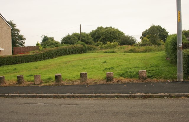
Image: © Richard Sutcliffe Taken: 5 Aug 2016
A wide gap between the houses on Wallacewell Quadrant leads into Robroyston Park LNR.
Images are licensed for reuse under creativecommons.org/licenses/by-sa/2.0
Image Location
Latitude
55.891095
Longitude
-4.200993