Capital Ring & Walthamstow Marshes
Introduction
The photograph on this page of Capital Ring & Walthamstow Marshes by Glyn Baker as part of the Geograph project.
The Geograph project started in 2005 with the aim of publishing, organising and preserving representative images for every square kilometre of Great Britain, Ireland and the Isle of Man.

There are currently over 7.5m images from over 14,400 individuals and you can help contribute to the project by visiting https://www.geograph.org.uk
Capital Ring & Walthamstow Marshes
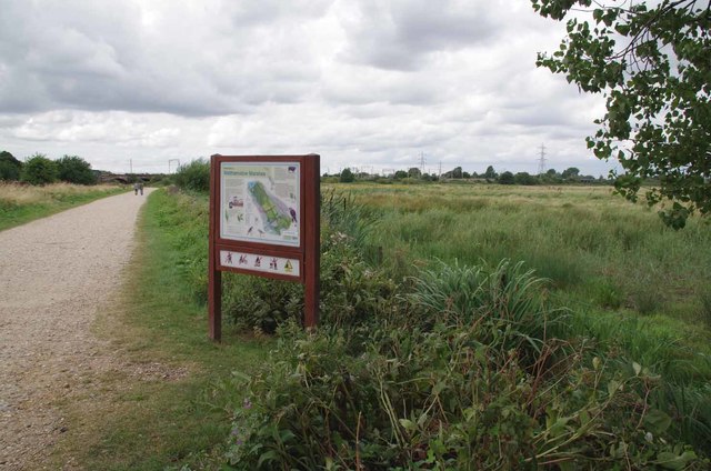
Image: © Glyn Baker Taken: 4 Aug 2016
The Capital Ring https://www.ldwa.org.uk/ldp/members/show_path.php?path_name=Capital+Ring long distance footpath as it passes through Image
Images are licensed for reuse under creativecommons.org/licenses/by-sa/2.0
Image Location
Latitude
51.566266
Longitude
-0.048459