Throop: footpath K26 emerges onto Throop Road
Introduction
The photograph on this page of Throop: footpath K26 emerges onto Throop Road by Chris Downer as part of the Geograph project.
The Geograph project started in 2005 with the aim of publishing, organising and preserving representative images for every square kilometre of Great Britain, Ireland and the Isle of Man.

There are currently over 7.5m images from over 14,400 individuals and you can help contribute to the project by visiting https://www.geograph.org.uk
Throop: footpath K26 emerges onto Throop Road
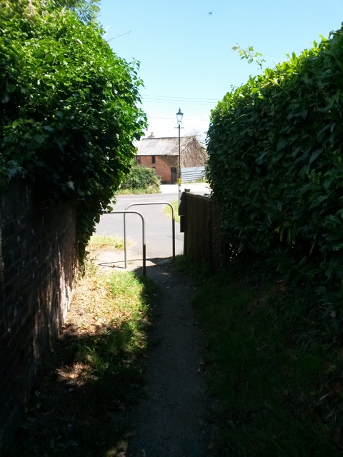
Image: © Chris Downer Taken: 16 Jul 2016
The eastern end of this public footpath as it comes out of its secluded passageway onto Throop Road. See Image for the view up the path from ahead, and Image for the next view on the path behind us, with links to further photos along the route.
Images are licensed for reuse under creativecommons.org/licenses/by-sa/2.0
Image Location
Latitude
50.76304
Longitude
-1.846535