Throop: Mill Road (North) approaches suburbia
Introduction
The photograph on this page of Throop: Mill Road (North) approaches suburbia by Chris Downer as part of the Geograph project.
The Geograph project started in 2005 with the aim of publishing, organising and preserving representative images for every square kilometre of Great Britain, Ireland and the Isle of Man.

There are currently over 7.5m images from over 14,400 individuals and you can help contribute to the project by visiting https://www.geograph.org.uk
Throop: Mill Road (North) approaches suburbia
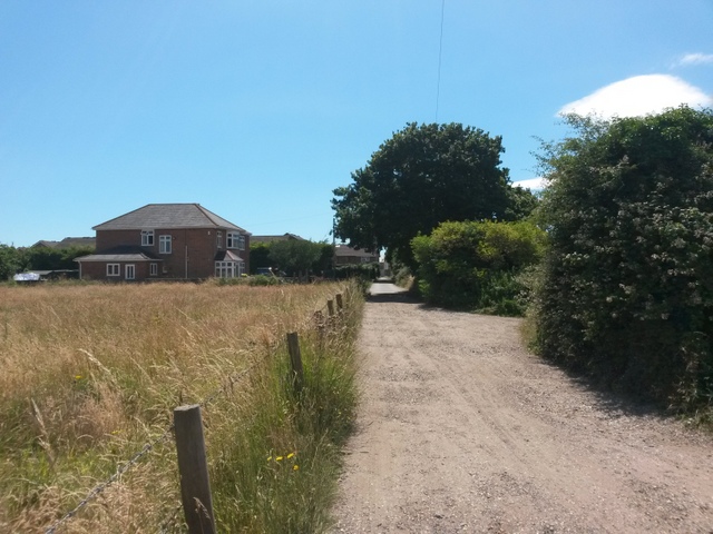
Image: © Chris Downer Taken: 16 Jul 2016
Looking south along Mill Road (North), which forms byway open to all traffic (or B.O.A.T.) number K22 - it used to extend along Mill Road (South) to Castle Lane before the latter segment was incorporated into the modern housing estate as part of the public highway. Ahead of us, we see one of the few houses along Mill Road; it would have been pretty much neighbourless the other side too, but since the mid 1980s the vast Muscliff housing estate has grown very close by. See Image for the next view along the road ahead, and Image for the next view behind us.
Images are licensed for reuse under creativecommons.org/licenses/by-sa/2.0
Image Location
Latitude
50.757464
Longitude
-1.845844