A48 telecoms cabinets near Castleton
Introduction
The photograph on this page of A48 telecoms cabinets near Castleton by Jaggery as part of the Geograph project.
The Geograph project started in 2005 with the aim of publishing, organising and preserving representative images for every square kilometre of Great Britain, Ireland and the Isle of Man.

There are currently over 7.5m images from over 14,400 individuals and you can help contribute to the project by visiting https://www.geograph.org.uk
A48 telecoms cabinets near Castleton
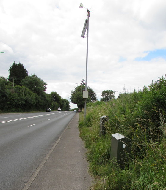
Image: © Jaggery Taken: 14 Jul 2016
Alongside the A48 southwest of Castleton. Equipment on top of the pole records wind speed and direction.
Images are licensed for reuse under creativecommons.org/licenses/by-sa/2.0
Image Location
Latitude
51.539668
Longitude
-3.089153