Bracken slope in Grisedale
Introduction
The photograph on this page of Bracken slope in Grisedale by Trevor Littlewood as part of the Geograph project.
The Geograph project started in 2005 with the aim of publishing, organising and preserving representative images for every square kilometre of Great Britain, Ireland and the Isle of Man.

There are currently over 7.5m images from over 14,400 individuals and you can help contribute to the project by visiting https://www.geograph.org.uk
Bracken slope in Grisedale
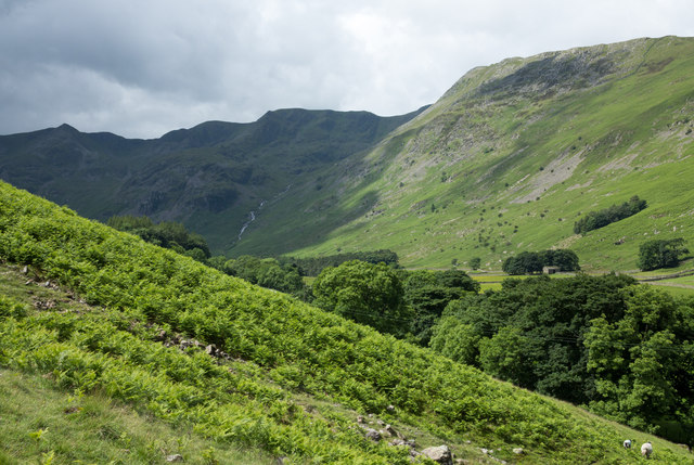
Image: © Trevor Littlewood Taken: 1 Jul 2016
In early July the bracken cover is heading towards its maximum. The slope is on the valley's southern side. To the north where there's more bracken, the sunlit slope rises towards Striding Edge; the shadowed slopes rise towards Dollywaggon Pike and Nethermost Pike.
Images are licensed for reuse under creativecommons.org/licenses/by-sa/2.0
Image Location
Latitude
54.52914
Longitude
-2.962938