The stream of Nant Caegaru
Introduction
The photograph on this page of The stream of Nant Caegaru by Christine Johnstone as part of the Geograph project.
The Geograph project started in 2005 with the aim of publishing, organising and preserving representative images for every square kilometre of Great Britain, Ireland and the Isle of Man.

There are currently over 7.5m images from over 14,400 individuals and you can help contribute to the project by visiting https://www.geograph.org.uk
The stream of Nant Caegaru
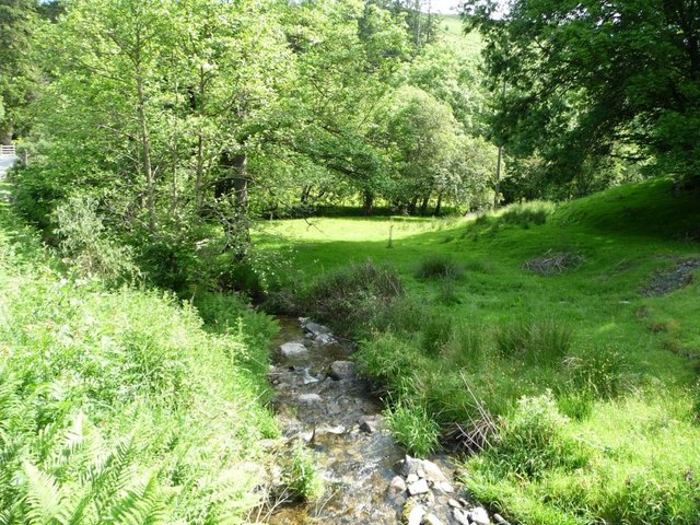
Image: © Christine Johnstone Taken: 23 Jun 2016
Tumbling down to join Afon Dulas at Tylwch.
Images are licensed for reuse under creativecommons.org/licenses/by-sa/2.0
Image Location
Latitude
52.408992
Longitude
-3.515911