38, Bank Street
Introduction
The photograph on this page of 38, Bank Street by John Baker as part of the Geograph project.
The Geograph project started in 2005 with the aim of publishing, organising and preserving representative images for every square kilometre of Great Britain, Ireland and the Isle of Man.

There are currently over 7.5m images from over 14,400 individuals and you can help contribute to the project by visiting https://www.geograph.org.uk
38, Bank Street
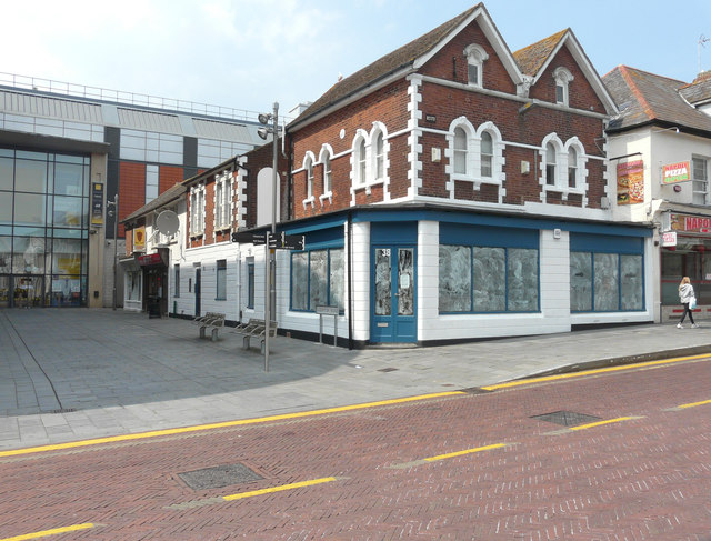
Image: © John Baker Taken: 5 Jun 2016
Planning permission has been granted by Ashford Borough Council under application number 14/00325/AS fop a “change of use of ground floor unit to A1 (Retail), A3 (Cafe) and A5 (Hot Food takeway). I feel takeway should have read takeaway in the Council’s description! Following conversion, it opened as Image
Images are licensed for reuse under creativecommons.org/licenses/by-sa/2.0
Image Location
Latitude
51.147505
Longitude
0.870113