Geisland House and former school from the air
Introduction
The photograph on this page of Geisland House and former school from the air by Thomas Nugent as part of the Geograph project.
The Geograph project started in 2005 with the aim of publishing, organising and preserving representative images for every square kilometre of Great Britain, Ireland and the Isle of Man.

There are currently over 7.5m images from over 14,400 individuals and you can help contribute to the project by visiting https://www.geograph.org.uk
Geisland House and former school from the air
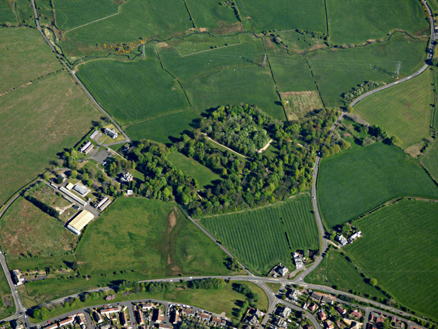
Image: © Thomas Nugent Taken: 15 May 2016
A Category B Listed http://portal.historicenvironment.scot/designation/LB901 former country house and school https://en.wikipedia.org/wiki/Geilsland_House on the outskirts of Beith, on the south side of the A737 road. Now owned by Beith Community Trust http://beithtrust.org/ .
Images are licensed for reuse under creativecommons.org/licenses/by-sa/2.0
Image Location
Latitude
55.747363
Longitude
-4.627433